Start by choosing a coast and a main activity. Utoro is a useful base for the Five Lakes and coastal scenery; Rausu suits a trip built around marine-wildlife excursions. They are separate departure points, so check your booking address before choosing a hotel.
This guide helps you plan and compare experiences. It is not a ranking of operators or a claim that we have personally tested each tour. Wildlife sightings and drift ice cannot be guaranteed.
Utoro or Rausu?
Use Utoro when combining the Five Lakes, the Nature Center and a coastal cruise. For a Rausu cruise, consider accommodation on that side instead of assuming you can quickly cross the peninsula before departure.
The Shiretoko Pass road has a winter closure and may also be restricted by weather. Check the actual route for your travel date. A winter journey between the coasts requires different planning from a summer crossing.
Five Lakes: choose the walking route first
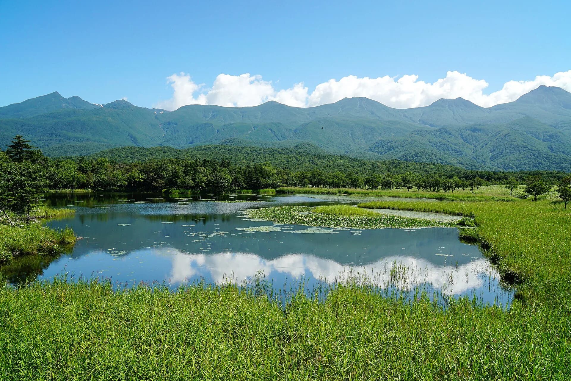
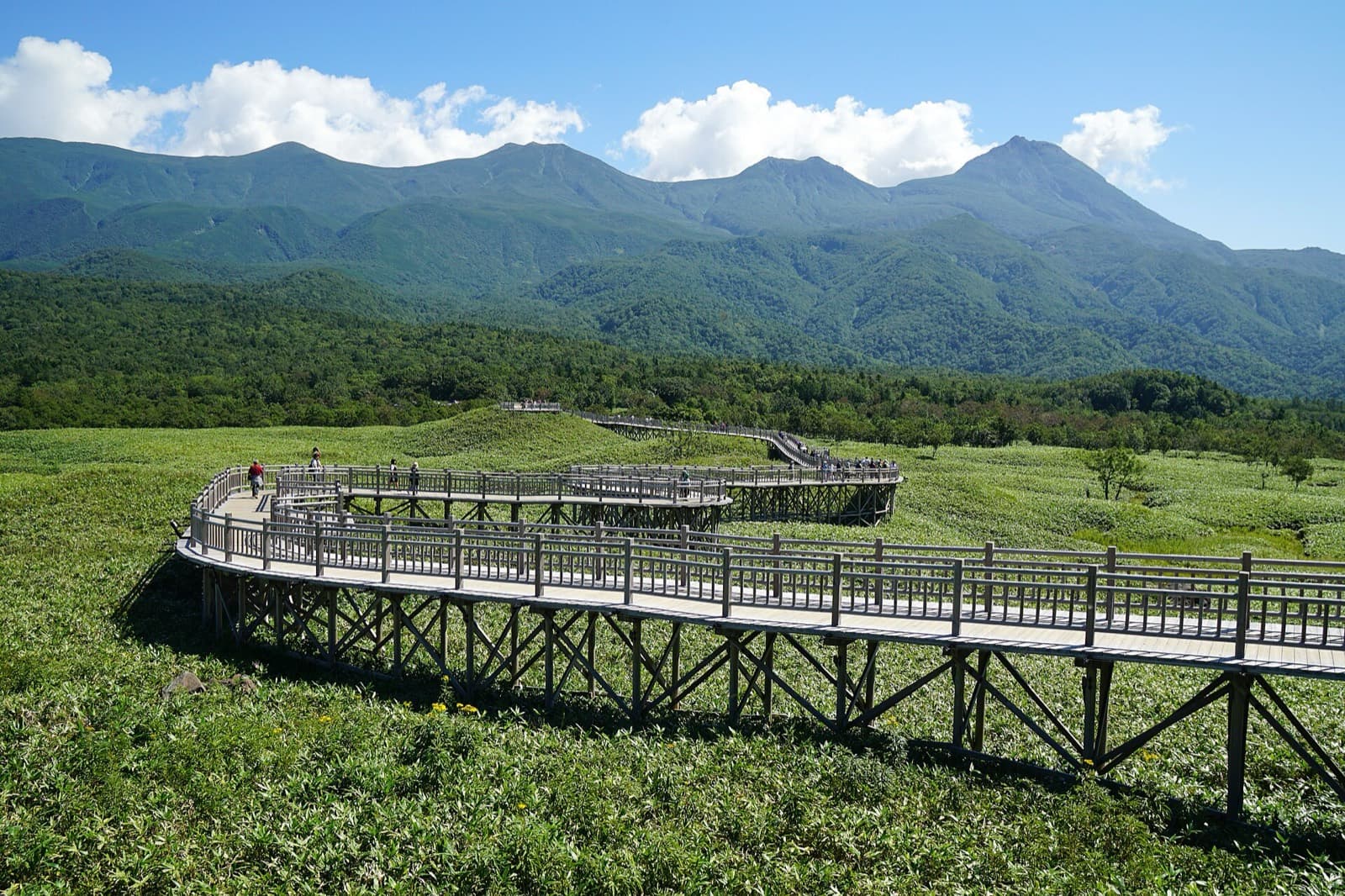
The elevated boardwalk leads to a viewpoint over the first lake. The official site gives approximately 1.6 km return and around 40 minutes; allow additional time for stops and reaching the entrance. These are route estimates, not a tour's total duration.
Ground trails have different access requirements by season, including briefings or accompaniment by a registered guide. Bear activity can close trails. Check the official Five Lakes information for current rules, route lengths and opening status. Ordinary green-season access should not be confused with winter guided programmes.
When booking, confirm the route, total duration, meeting point, required clothing and whether the tour operates in rain. A booking labelled “Five Lakes” does not by itself explain which route you will walk.
Cruises: compare the route, not just the boat
Utoro cruises focus on coastal scenery; Rausu operators offer seasonal marine-wildlife excursions. Compare the advertised route, time aboard and facilities. Boat size alone does not establish which trip will suit you or how much wildlife you will see.
Confirm the departure port and check-in deadline. Ask how cancellations are communicated, what refund terms apply and whether rescheduling depends on available seats. Leave time between a cruise and any onward journey; the advertised sailing time is not your entire time at the port.
If a cruise is your main reason for visiting, staying two nights can provide more flexibility. It does not guarantee that another sailing will operate or have space.
Winter and other seasonal activities
Drift-ice experiences depend on the ice and weather as well as the operator's schedule. Check age, height or other participation requirements, included equipment and cancellation rules for the specific programme. Do not step onto sea ice independently.
Kamuiwakka visits also require checking the current operating period, reservation arrangements and road access. Use the Shiretoko tourism association to find official visitor information and local operators. A photograph of an activity is not evidence that it runs on your date.
Questions to ask before paying
- Location: Which coast and exact meeting point? Is hotel pickup included, and from which hotels?
- Time: When must you check in, and when does the whole programme finish?
- Price: What equipment and fees are included? Are there optional charges?
- Participation: Are there age, physical or language requirements? Ask the operator about your group's needs.
- Clothing: What must you bring, and what can be borrowed? Check available equipment sizes.
- Cancellation: What happens if you cancel, the operator cancels, or transport delays your arrival?
If using a booking service, check the named operator and the same details on the actual listing. A search result or affiliate link is not a confirmed reservation or a promise of availability.
Visiting Shiretoko without a car: book the return journey too
Reaching Utoro or Rausu does not by itself get you to a tour's meeting point. Before paying, draw the whole chain: arrival stop → hotel or luggage storage → reception → activity → return stop → hotel. Use the timetable for your actual date, direction and operating period. A driving-time estimate is not evidence that a bus connection exists; the overview of getting around Hokkaido helps you compare the modes without treating them as interchangeable.
- Start with the return: write down the programme's expected release time and place, the walk to the stop and the last usable departure. Check whether there is a later service you could actually use. If there is no workable margin, choose an earlier or shorter activity, arrange a confirmed transfer, or drop that combination. Do not rely on finding a taxi after the tour.
- Define hotel pickup: ask whether your particular accommodation is served, whether a reservation is required, and whether the transfer covers both directions. “Pickup available” does not establish that the tour will drop you at a different hotel, a bus terminal or the next activity. Confirm that before combining a morning cruise with an afternoon walk booked separately.
- Keep luggage out of the connection: on a hotel-change day, ask who can hold your bags, until what time, and whether collecting them means retracing the route. Do not assume a tour vehicle or reception can store suitcases. If nobody confirms storage, keep the activity on a full day at the same base instead.
- Price the complete outing: compare public transport plus a separately booked tour with a tour that confirms the transfers you need. Include all travellers, transfer charges and any extra hotel night. An unconfirmed ride is a missing part of the plan, not a zero-cost item; record it separately in your trip budget.
For the two-night plan below, day 2 is the simplest place to test this chain: you start and finish at the same base and do not have an airport connection to protect. Day 3 is not automatically a backup tour day. If the revised excursion would compromise the onward journey, leave it out rather than depending on an early finish.
A message to send with your proposed connection
“We are travelling without a car on [date], staying at [hotel], with [party details and luggage]. We plan to arrive at [stop/time] and leave from [stop/time]. Where and when must we check in, where does the programme finish, and what return transfer can you confirm? If the activity is cancelled or finishes late, how are we notified and what happens to the transfer?”
Check the transport provider's answer separately from the activity operator's. A tour reservation does not reserve a bus seat, and cancellation of one booking does not automatically cancel the other. Keep the contact details available offline. For a family trip, include the children's ages and any stroller or mobility needs in the enquiry rather than assuming every vehicle can accommodate them.
A two-night Utoro plan
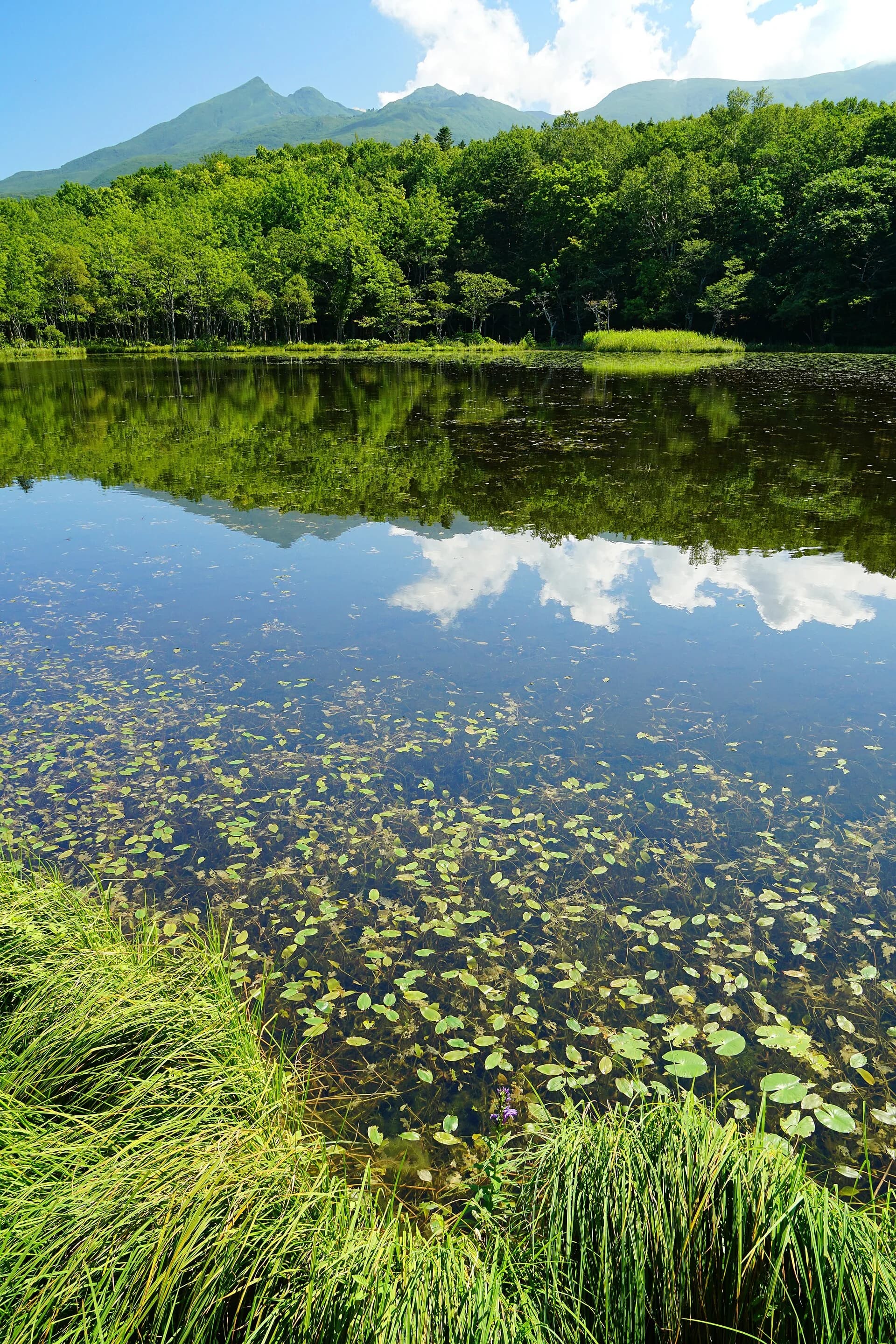
Day 1: Travel to Utoro and keep the remaining schedule light. Check local information and your next day's meeting point.
Day 2: Make a Five Lakes walk or cruise the main event. If combining both, allow time for lunch, transfers and check-in between them.
Day 3: Add one nearby activity only if it fits your departure. Prioritise the airport or next accommodation when the onward journey is long.
This is an NLH planning suggestion, not a timed itinerary. Add a Rausu stay if an excursion there is also central to the trip, and rebuild the route around winter road closures when applicable.
If conditions change
The Nature Center's indoor exhibits may provide an alternative, subject to its opening information. Do not assume a walking trail is open because a boat is cancelled: check weather and bear-related restrictions separately.
Observe closures, stay on permitted routes, and never feed or approach wildlife. Ask local staff for current guidance before setting out. Mountain hikes need separate route, equipment and conditions checks and are not included in the two-night plan above.
Fit the experience into the rest of Hokkaido
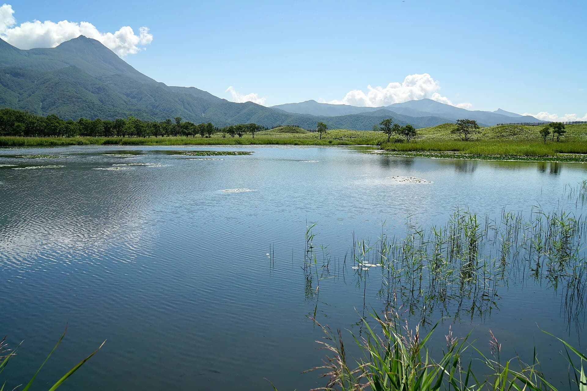
Use the eastern Hokkaido guide and ten-day itinerary to connect Shiretoko with other stops. Read the transport planning guide before adding a long drive on the day of a fixed-time excursion.
Official Five Lakes and Shiretoko tourism information checked on 11 October 2026. Check current access and the chosen operator's terms again before booking and departure.
Book what's in this guide
These are affiliate links. We may earn a commission if you book — the price you pay is the same. Learn more

Viator links open a regional or category list, not a single tour. Check each activity's location and dates before booking.
Northern Land Hokkaido Team — Sapporo, Japan