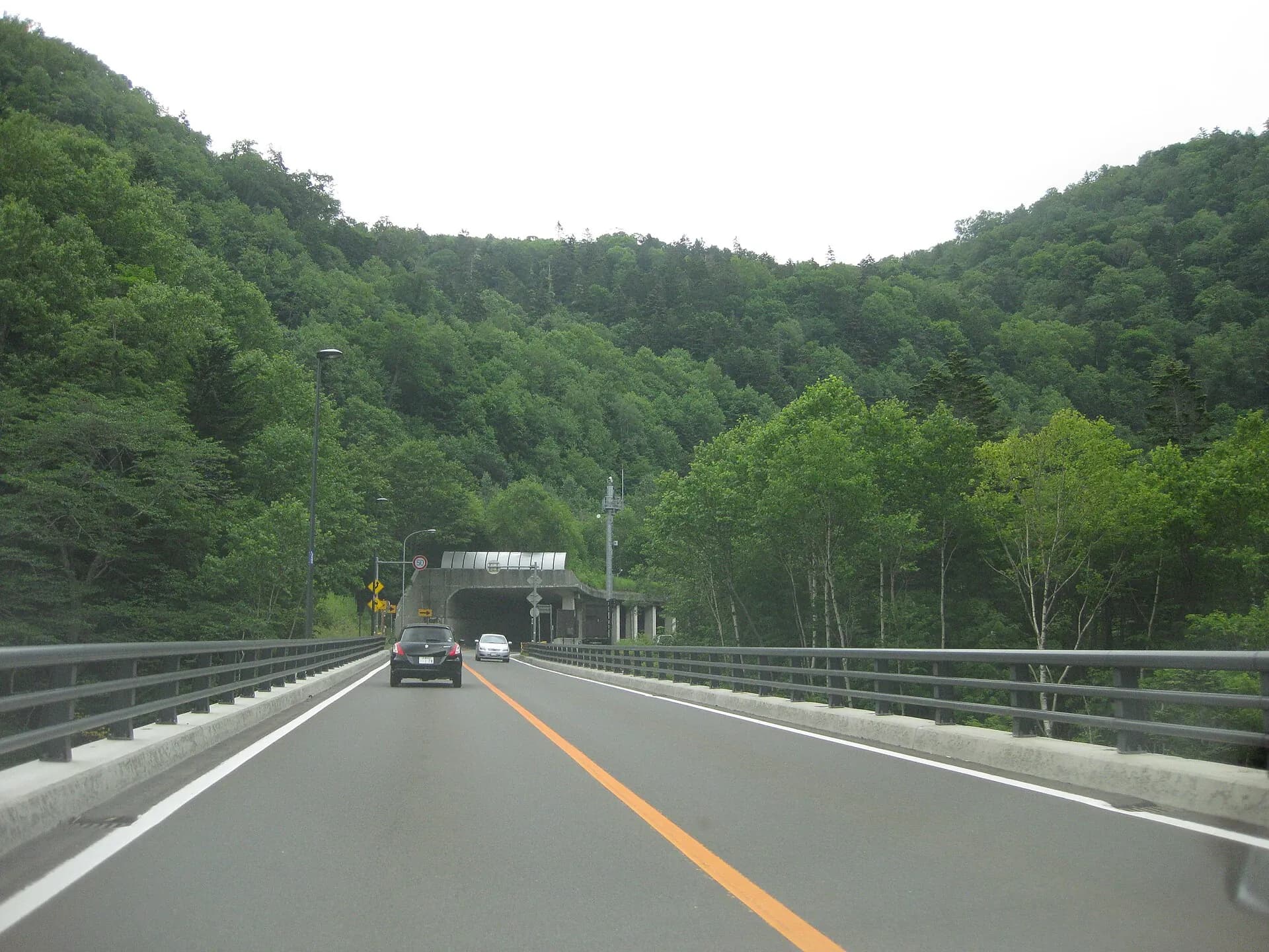
How long a Hokkaido drive takes depends on the roads you use and the exact places you want to reach. Search from your rental office or hotel to the next hotel or attraction, then add time for meals, parking, sightseeing and breaks. A town-to-town estimate is not enough to decide whether you can reach a timed activity or catch a flight.
Planning a specific trip? Start with New Chitose to Sapporo, New Chitose to Niseko, or day trips from Sapporo. For several overnight stops, use the 7-day itinerary to choose a manageable route before booking.
An earlier version of this article displayed distances and driving times estimated from straight-line distances. Those tables have been withdrawn because they did not follow actual road routes. The steps below help you check your own journey instead.
How to check a Hokkaido driving time
- Enter the exact departure point and destination in a route planner. Use the hotel, rental office or attraction car park rather than a town name.
- Compare routes with and without toll roads. Check that the route includes every planned stop.
- Check road restrictions for your travel date and review the route again before departure.
- Add time outside the car: parking, walking, meals, breaks and check-in.
- Work backwards from any fixed deadline, such as an activity meeting time or your car-return appointment.
For expressway routes and tolls, consult NEXCO East's Drive Plaza. Include the local roads between your accommodation and the expressway entrance, and between the exit and your destination; an interchange-to-interchange result is only part of the journey.
Toll road or ordinary road: compare the day, not just the toll
Use the same hotel addresses and essential stops for both searches. A cheaper route that skips the attraction you meant to visit is not a like-for-like comparison. Treat the following as a planning worksheet, not a promise that either route will be faster or safer.
- Record two complete routes. For each, note the roads, distance and driving estimate, the toll quoted for your vehicle and travel conditions, and where you would stop for fuel, food and toilets. Check the opening hours of the stops you are relying on; a map pin alone is not enough.
- Add the cost difference. Compare tolls plus estimated fuel, parking and any rental charge caused by a later return. Fuel is an estimate based on distance, expected consumption and the price you enter, not a guaranteed saving. Check ETC equipment, card availability and applicable charges with the rental company instead of assuming an advertised discount applies.
- Give both routes the same rest and visit time. Do not make the ordinary-road option fit by removing breaks. With children, allow for getting everyone out of the car and back in; see our family travel planning guide.
- Test the arrival deadline. Subtract driving, stops, parking and your chosen contingency margin from the confirmed check-in, dinner or return deadline. If the resulting departure time is not workable, remove an optional visit or change the overnight stop. Paying a toll does not guarantee an on-time arrival.
For example, suppose one route costs ¥2,000 more in tolls but saves 40 minutes in the route planner. Those are invented comparison figures, not a Hokkaido fare or journey estimate. The question is whether the whole cost difference, including fuel, is worth retaining those 40 minutes for a break or a visit. Do not count the saving twice by both leaving later and adding another 40-minute stop. Our trip budget guide helps keep per-car costs separate from per-person spending.
Before departure, check both candidates against the road information below. If the chosen route becomes unsuitable, compare the full alternative again: its stops and arrival time may differ. If neither leaves a manageable day, change the itinerary instead of choosing whichever line the map labels quickest. The getting-around guide helps compare a rail transfer with hiring a car only where you need one.
What to check on the common legs
The endpoints below are the ones to put into the route planner, not a substitute for doing so. The last two columns are our planning view rather than a measurement.
| Leg | Endpoints to check | Usual overnight | When we would not drive it |
|---|---|---|---|
| New Chitose → Sapporo | Rental office in Chitose City → your hotel address | Sapporo | Almost always: rail is frequent and a car is a liability in the city. See the airport-to-Sapporo guide |
| Sapporo → Otaru | Hotel → the car park you intend to use, not the canal | Day trip; no overnight needed | For a canal-and-food day, where parking is the constraint. See the Otaru day-trip guide |
| Sapporo → Furano and Biei | Hotel → each attraction car park in turn | Furano or Asahikawa once you have stops on two days | Rarely — the farms and viewpoints are spread out and poorly linked by bus |
| Sapporo → Noboribetsu Onsen | Hotel → the ryokan address, not the station | Noboribetsu Onsen | If the car would sit unused overnight. See Otaru to Noboribetsu for the rail and bus alternatives |
| Sapporo → Hakodate | Hotel → hotel, with any Lake Toya stop added | Hakodate, or split the journey at Lake Toya | When it is a single transfer day with no stops planned. See Sapporo to Hakodate for the train and bus options |
| Sapporo → Kushiro or Shiretoko | Hotel → hotel for each night of the transfer | Several nights; this is not a day trip | When the days are tight — compare a domestic flight for the long leg |
How long does it take to cross Hokkaido?
From Sapporo, the local official tourism sites put the drive to the northern, eastern and southern end towns at roughly four to seven hours each. Joining Wakkanai in the north to Hakodate in the south through Sapporo adds two of those legs together — about 10 hours of driving before any stops.
| From Sapporo to | Driving time | Route given | Source |
|---|---|---|---|
| North: Wakkanai | About 5 hours 40 minutes | Ordinary roads, via Routes 231 and 232 | Kita-Hokkaido DMO |
| East: Nemuro | About 7 hours (430 km) | Doto Expressway to Akan IC, then ordinary roads | East Hokkaido Tourist Industry Development Association |
| South: Hakodate | About 4 hours 20 minutes | Do-O Expressway (Sapporo-Minami IC to Onuma-Koen IC), then Route 5 | City of Hakodate's official tourism site |
These are driving-time estimates without meals, fuel or breaks, checked on each page on 3 October 2026. Each runs from the source's own starting point in Sapporo to the town itself, so Cape Soya, Cape Nosappu or Shiretoko are further on, and winter conditions lengthen the same roads.
Beyond those three, there is no single figure, because the two ends are not fixed points. North usually means Wakkanai or Cape Soya; east might be Nemuro or Shiretoko; south is Hakodate. Each pairing follows different roads, and only part of any of them is expressway, so a straight-line distance scaled by an average speed will not tell you the day you would actually have.
So check the specific pair you mean — your real departure address and your real destination — in a route planner. A door-to-door result already includes the ordinary roads at both ends; what it does not include is meals, fuel, breaks and anything you stop to look at. For a sightseeing trip between distant ends, we would plan overnight stops rather than a single day at the wheel, and if the crossing is only a transfer, compare a domestic flight or the limited express before driving it.
From New Chitose Airport: start at the rental office
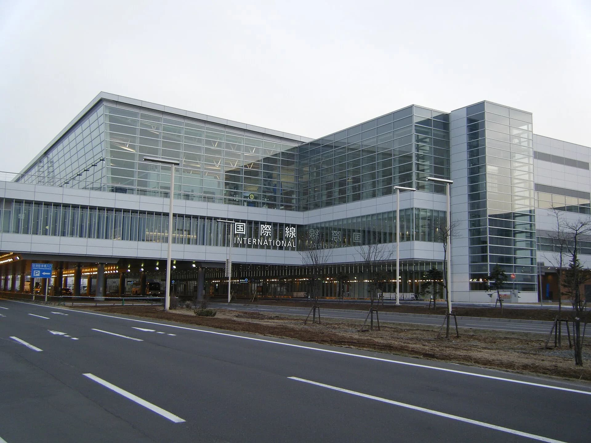
Your driving day does not start when the aircraft lands. Allow separately for arrival procedures, collecting luggage, reaching the rental office and completing the handover. Ask your rental company where collection takes place before setting an onward arrival time.
Choose the next step according to your destination:
- Sapporo: compare airport transport with collecting a car immediately. The airport-to-Sapporo guide explains the options.
- Niseko: enter your actual accommodation address. Read the New Chitose-to-Niseko guide before choosing a car or transfer.
- Furano and Biei: list the attractions you want to visit before choosing an overnight base. The Furano–Biei guide helps you organise those stops.
- A multi-region trip: compare the 5-day, 7-day and 10-day plans, then check each leg on actual roads.
On an arrival day, keep an optional stop that you can remove if collection takes longer than expected. Avoid relying on a precise town-centre estimate to make a prepaid activity.
If your flight lands late, treat the car as a separate problem from the drive: counter hours vary by company, and how you reach the car depends on the type of rental you booked (see the car-return section below). Ask your rental company for the latest pickup on your booking. Landing late at New Chitose covers the rest of that evening, including where to sleep if the day has to restart in the morning.
From Sapporo: day trip or overnight stay?
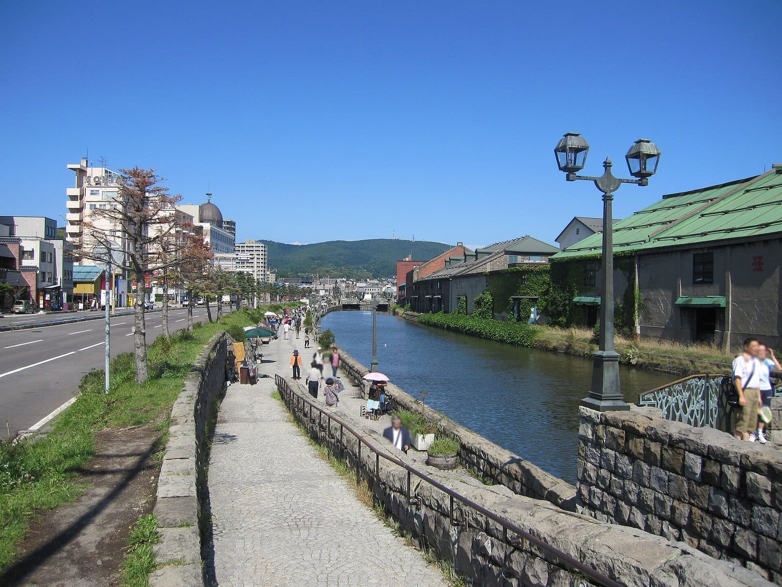
For a day trip, calculate both the outward and return journeys before adding sightseeing. If you are keeping a hotel in Sapporo, the time needed to return to it is part of the day's budget.
Our Sapporo day-trip comparison covers Otaru, Jozankei, Lake Shikotsu and Noboribetsu. For a trip centred on Otaru's streets and food, also compare the car-free Otaru plan before hiring a vehicle.
If your list includes several stops around Furano and Biei, compare staying there with returning to Sapporo each evening. For travel between regions, plan the transfer first and fit optional sightseeing around it. The number of places you can visit depends on time on the ground, not only the distance between map pins.
For one such transfer, our Furano and Biei to Noboribetsu Onsen guide compares the driving routes to the expressway with the rail connections via Sapporo, and shows how to plan the day backwards from your ryokan dinner.
Choose the overnight base by the first commitment on the following day: an early activity, a meal deadline or an airport return can matter more than a shorter-looking route. The Furano–Biei guide and where-to-stay-in-Sapporo guide provide the local context before you compare individual hotel addresses.
Turn driving time into a full-day plan
Suppose your chosen route shows 3 hours of driving. Adding 1 hour for lunch, two 1-hour visits and 30 minutes of breaks makes 6½ hours before any additional delay. This is a scheduling example, not an estimate for a named Hokkaido route.
Write down these parts separately:
- Driving on the selected road route.
- Parking and walking to each attraction.
- Time at the attraction, including any check-in or queue.
- Meals and rest stops.
- A margin before a fixed booking or arrival deadline.
If the total does not fit, remove a stop or change your overnight base. Keep a nearby alternative rather than making every activity essential to the day's plan.
One-way rental or a return loop: count the driving you remove
Returning a car in a different town can remove a backtracking leg, but compare the complete trip before booking. The following is our planning method, not a statement that a particular company accepts your chosen one-way rental.
- Same-office return: map every overnight stop and the drive back to the original office. Include the final night's accommodation and the onward airport transfer, not just the outward sightseeing route.
- Different-office return: map the same essential visits, ending at the proposed return office. Check availability for the exact pickup office, return office, dates and vehicle class; a branch appearing on a map is not confirmation that your booking can end there.
- Rail transfer plus a local rental: price the long-distance train journey and a shorter rental for the sightseeing area. Include getting from the station to the office, luggage handling and the office's opening hours. See our transport comparison.
For each option, record rental charges for the actual pickup and return times, any one-way charge, fuel, tolls, parking and transport after returning the car. If the departure airport changes, compare the available flight and its baggage costs for everyone too. Keep the same number of holiday nights in the comparison: moving the final hotel is a replacement, while adding another night is an extra cost. Use the trip budget worksheet to separate per-car and per-person amounts.
For example, on a trip through Sapporo and Lake Toya to Hakodate, compare driving back to the original office with returning the car in Hakodate and leaving from there, if the rental and flight arrangements are available. A third option is returning locally and continuing by train. These are route candidates, not confirmed services or journey-time estimates. Our Sapporo–Hakodate guide helps with the transport comparison. Count only the driving leg actually removed; car return, luggage transfer and airport procedures still take time.
Before paying, ask: “Can this vehicle be collected at [office/date/time] and returned at [office/date/time]? What is the total including the one-way charge, what return deadline applies, and how do we reach [station/terminal] afterwards?” If your flight or route changes, confirm a revised return arrangement with the company before relying on another branch. Do not treat a later flight as permission to return the car late. If the revised rental is unavailable, rebuild the route rather than keeping an itinerary that depends on it.
Winter driving: do not use a fixed multiplier
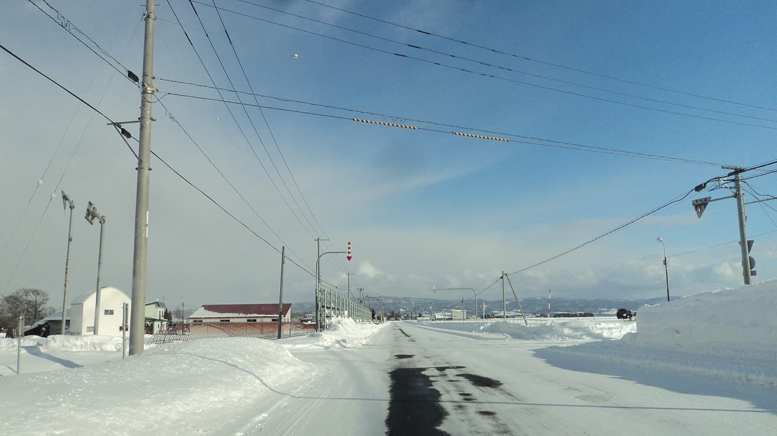
Adding the same percentage to every summer journey does not account for winter conditions. Check the current restrictions and forecast along your chosen route, and keep a plan that allows you to shorten or cancel a drive. A formula used to compare distances cannot tell you whether a particular road will be suitable on your travel day.
If you are unfamiliar with winter driving, compare rail, scheduled buses or a booked transfer before committing to a rental car. Use the winter itinerary guide to consider a trip with fewer accommodation changes.
Before you set off: check road information and know when to change the plan
The official pages below are where road information comes from; the checks and decisions around them are our planning advice. We have not looked at the restrictions for any particular date.
- Ordinary roads: The Hokkaido Regional Development Bureau's road restrictions page links to the national road information system. Compare the road numbers, sections and restriction periods published there with your own route and date. A road with nothing shown is not a promise that it is open.
- Expressways: NEXCO East's Drive Plaza traffic page leads to current traffic and closures and to regional cameras for Hokkaido, and lists planned closures separately. The fare search mentioned above is a different tool: a route and toll result does not tell you the road is passable.
- If you cannot confirm the route: Do not simply follow an unfamiliar shortcut the navigation offers; check the whole alternative route the same way. Contact your hotel or rental company early, then shorten the day, rebook or stay another night. Before booking an alternative, check its availability and its change and cancellation conditions; if the backup is a train or bus, check that it is running and has seats.
On the morning of the drive, run through four checks:
- Route: the exact route you will drive, including every stop.
- Road information: the road number, section and direction, and when the information was last updated. If a start, end or reopening time is published, note it.
- Time left: fuel, meals and parking, measured against your hotel check-in or flight deadline.
- Backup: an alternative you could actually use, such as another route, another night or a train or bus.
If switching to public transport is your backup, our winter transport guide and getting-around guide compare the options. The official pages in this section were checked on 17 October 2026; the route estimates above keep their 3 October check.
Returning the car before your flight
New Chitose Airport's rental car page (Japanese) separates two kinds of service. Staffed counters are on the first floor of both terminals, with a dedicated bus to and from the company's Chitose office. Self-service rentals and car sharing use pick-up and return points that depend on the reservation. Check which applies to your booking.
On the day, the order is: refuel as the rental company requires, reach the correct return point, complete the return procedures your booking requires, take the company's shuttle if your booking uses one, then the airport procedures. Plan it backwards from your airline's check-in and bag-drop deadlines, taking the time for each step from your rental company and airline; no single buffer fits every booking.
Keep the final sightseeing stop optional. Reaching the airport area is not the same as completing car return and arriving at the check-in desk.
Build and check your itinerary
Use our free Hokkaido planner to organise candidate towns by trip length, interests and season. Its drive times are approximate, so confirm each leg on actual roads before making reservations. It does not check live traffic or replace a navigation service.
Start with the Hokkaido itinerary guide if you are still choosing regions. Once the route fits your available days, choose accommodation and activities that work with your arrival times.
Book what's in this guide
These are affiliate links. We may earn a commission if you book — the price you pay is the same. Learn more
Northern Land Hokkaido Team — Sapporo, Japan